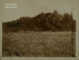
IE OH OHS77/4/6/25
·
Stuk
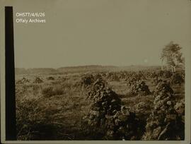
Part of Woodfield Papers
Photograph of a field labeled, "the Derric Woodfield".